Death Valley National Park
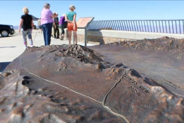
Dantes View Bronze Relief Map
Dantes View Bronze Relief Map
|
National Monument
1933 National Park 1994 Park Size 3.4 million acres, 91% wilderness Annual Visitors 1.1 million Park Fee $30 Superintendent Mike Reynolds Park Partner Death Valley Natural History Association Location Inyo and San Bernardino Counties, CA, Nye County, NV |
Death Valley National Park is a vast, wild landscape of desert and rugged mountains. Every year, half a million visitors make the steep drive up to Dantes View to get a unique view of Badwater Basin and beyond. The spectacular vista from over 5,000 feet above Death Valley encompasses a sweep of over 30 miles across some of the most dramatic scenery in Death Valley.
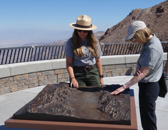
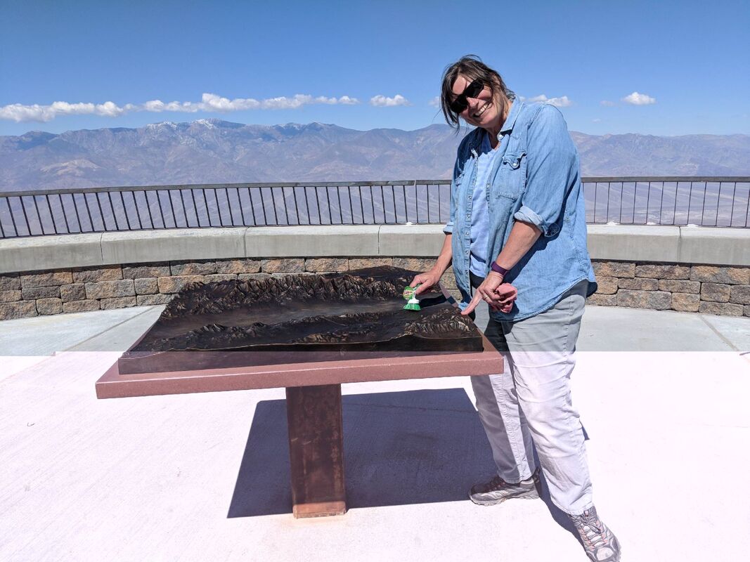
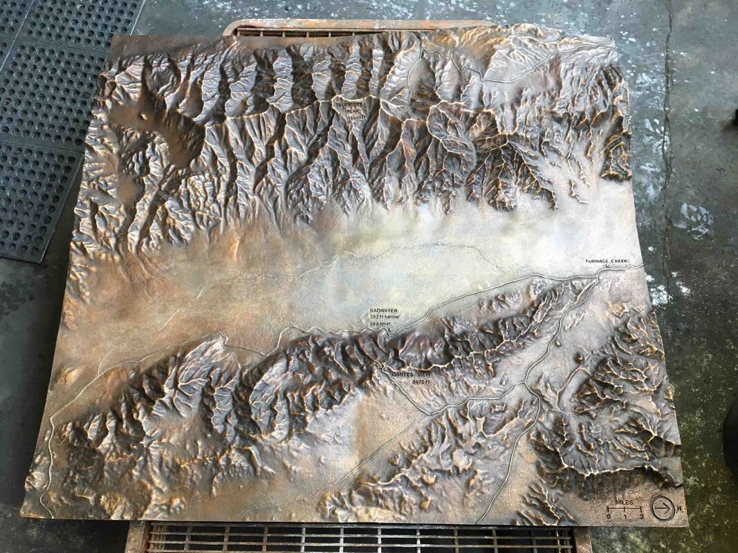
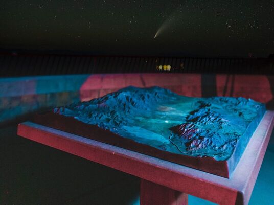
Over time, the viewing area had become severely degraded and needed a thorough restoration. As part of this effort, The Fund for People in Parks made a grant to produce a bronze topographical relief map of the region that helps to orient visitors to the remarkable wide view from this amazing overlook. Raised relief maps deepen understanding for complex landscapes and provide a tactile experience for different learning styles and the visually-impaired. The large bronze relief map was installed upon completion of the comprehensive restoration project at Dantes View in May 2018, giving visitors a better understanding of Badwater Basin and its surroundings. Project Cost: $51,916 Project Completed: 2018 This project will help engage visitors by helping them understand how they fit into the landscape while enjoying the scenery at Dantes View. It certainly enhances the other additions recently made to the site." |
